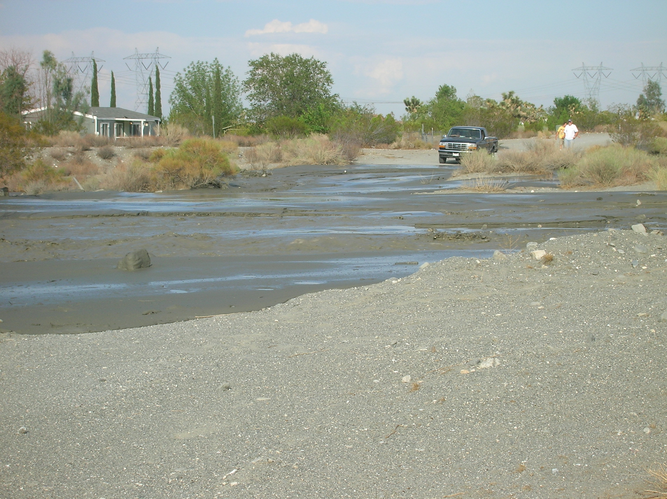
Flash Flooding in Sheep Creek
(28 miles east of
 This
water began its ground run with a thunderstorm in Wrightwood, thirteen miles
away and 3,000ft up. This first set
of photos was taken at the
This
water began its ground run with a thunderstorm in Wrightwood, thirteen miles
away and 3,000ft up. This first set
of photos was taken at the
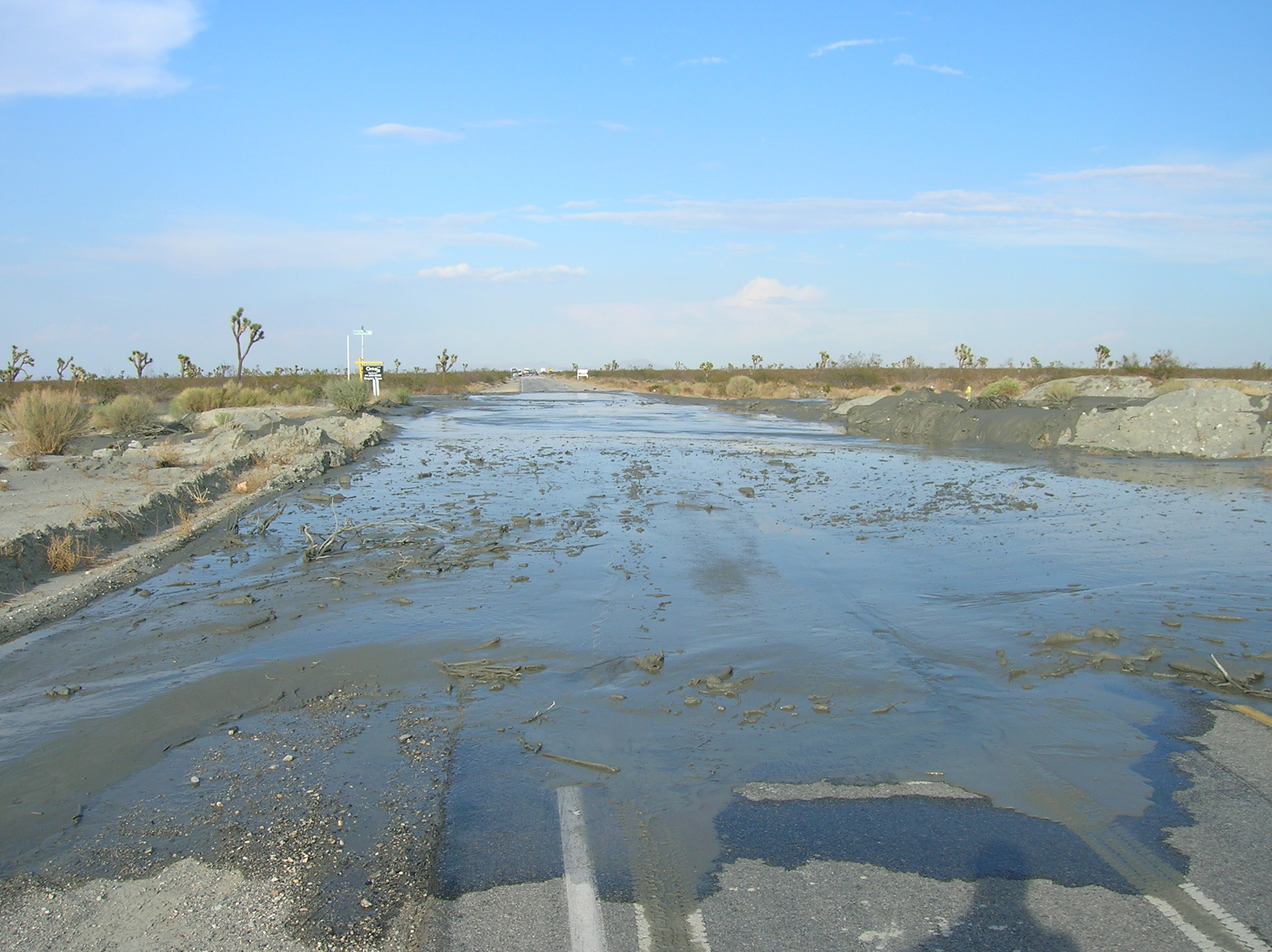
(Water crossing Hwy 18 and water crossing the California Aqueduct)
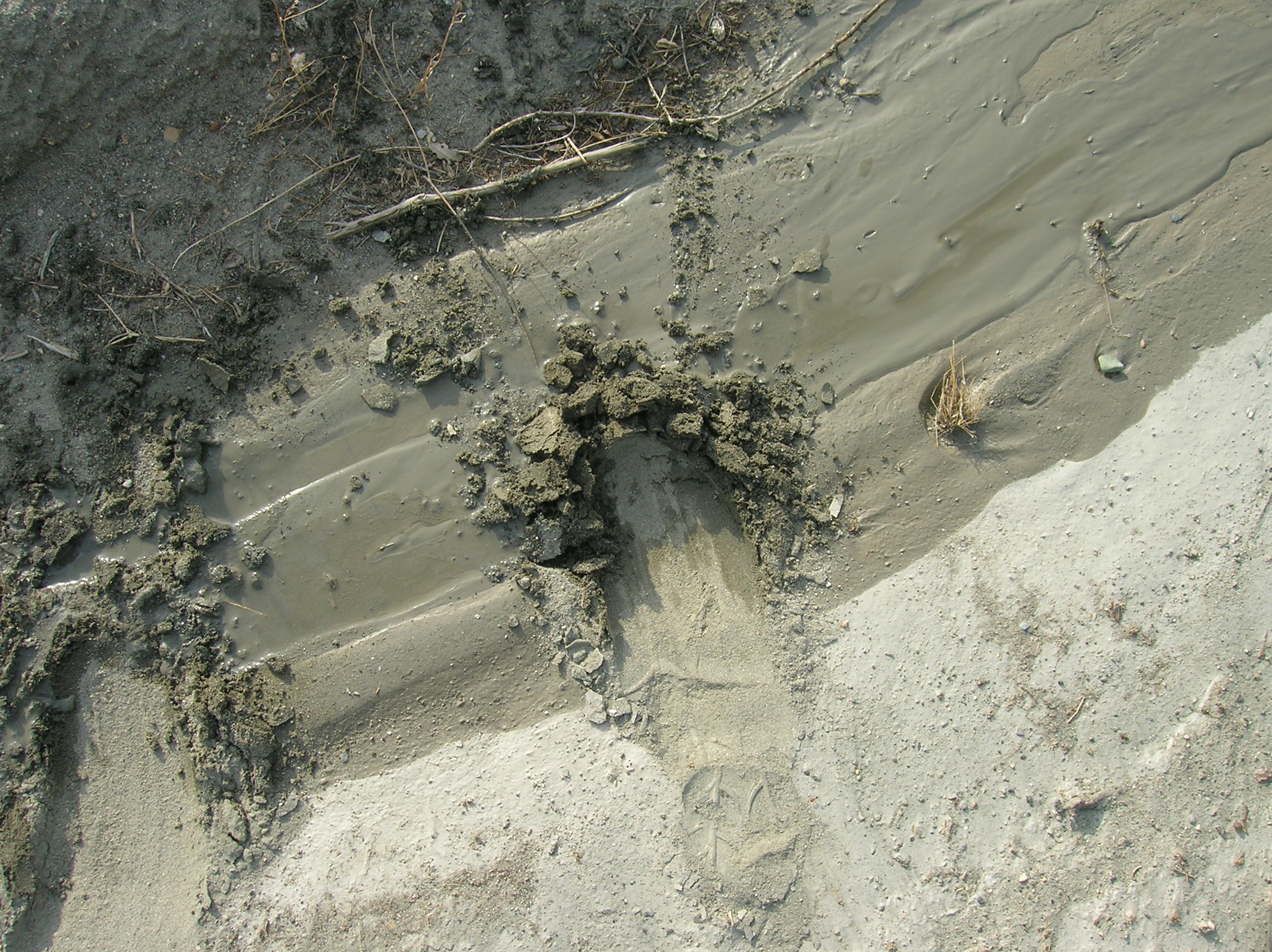
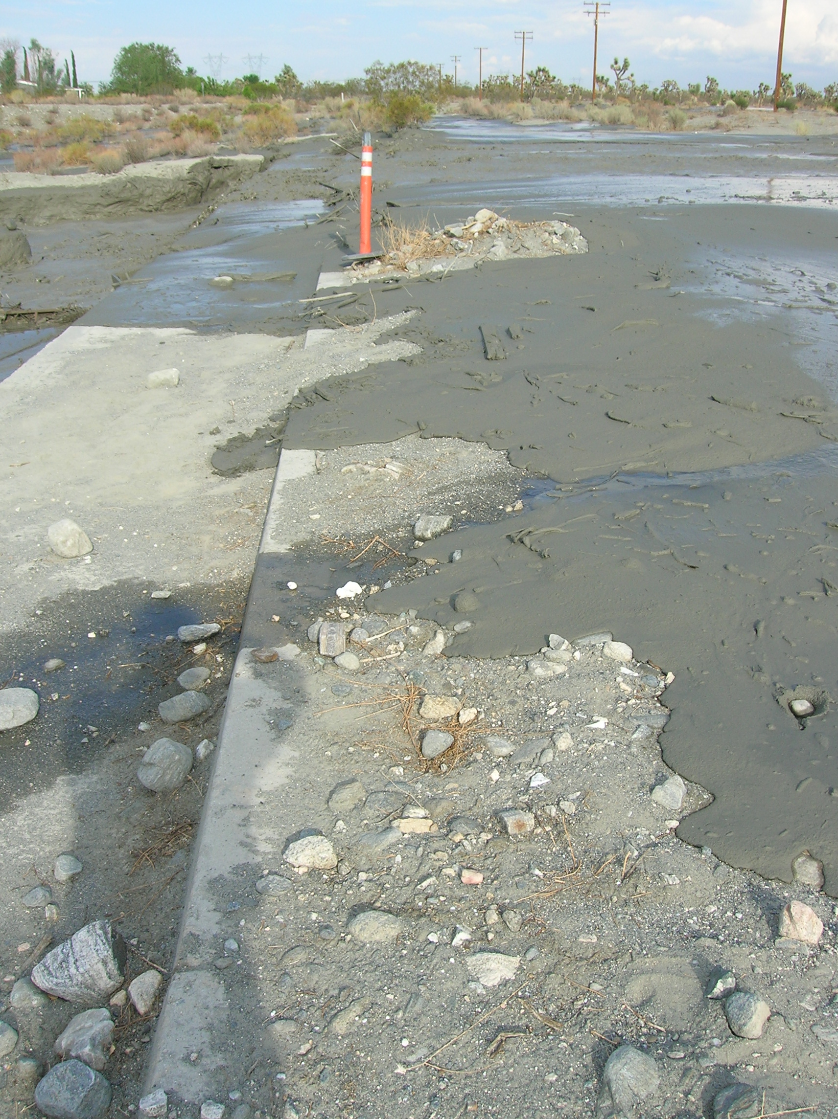
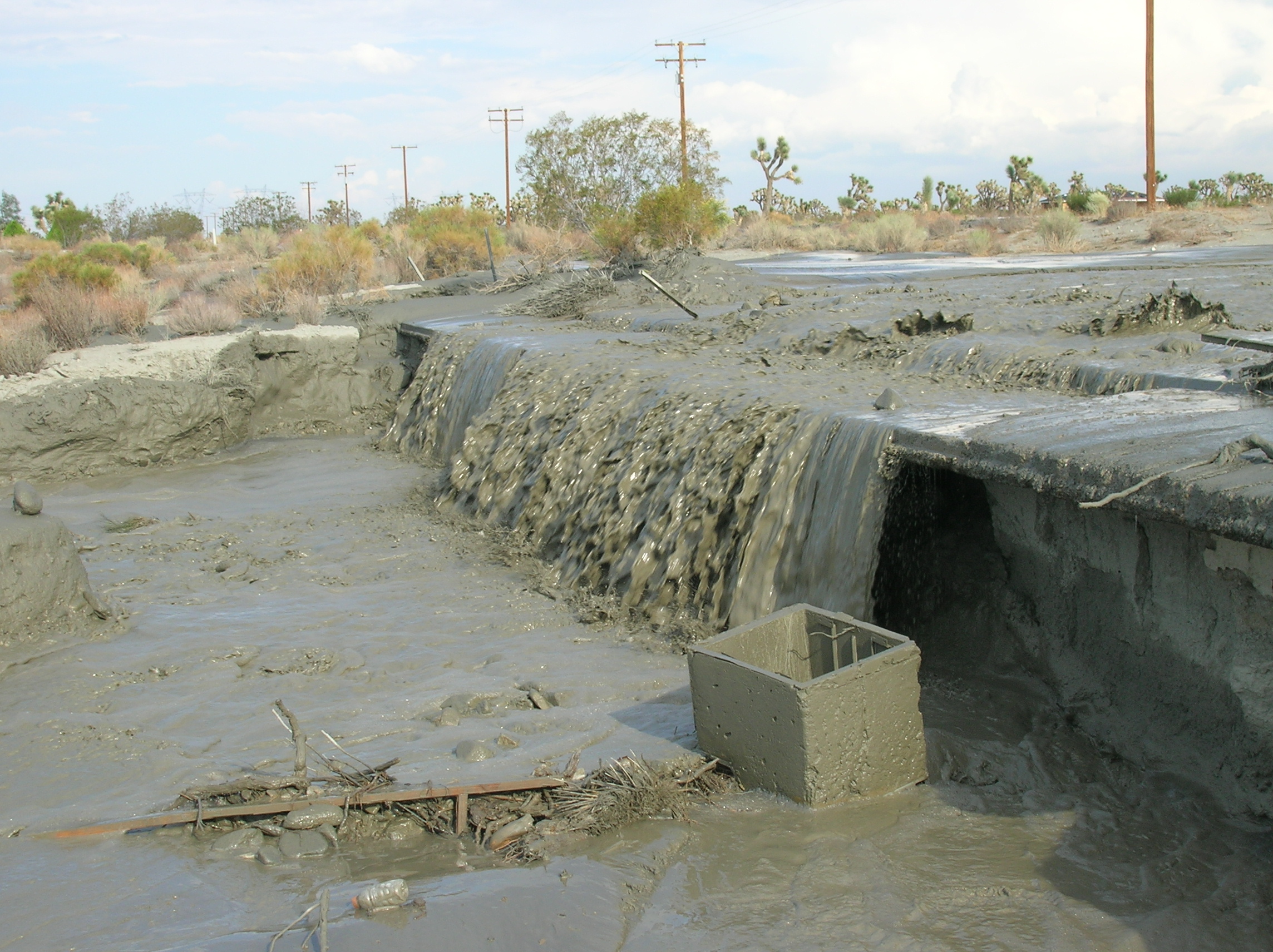
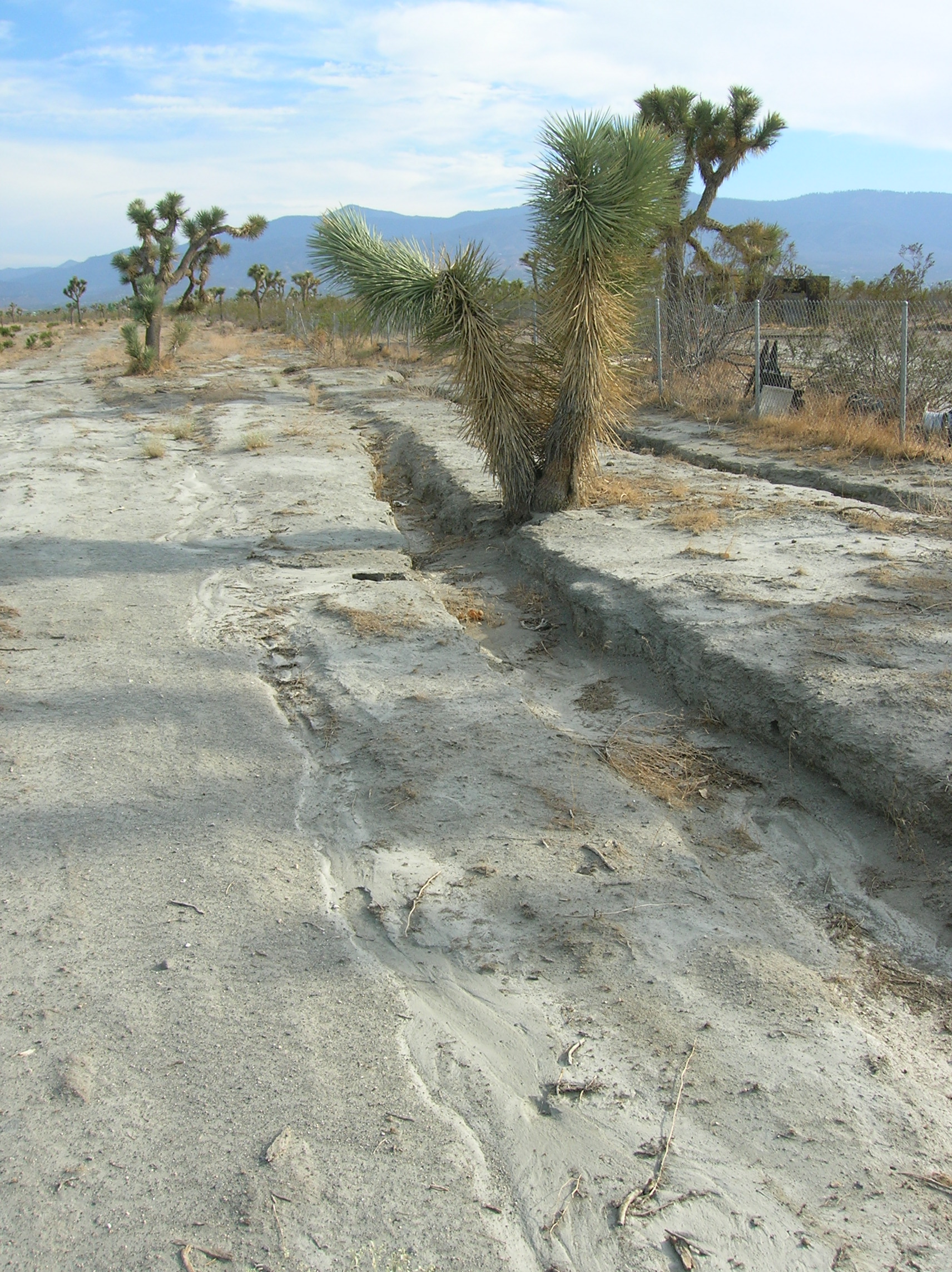
One notices two distinct kinds of flow that modify the desert floor; a one time sloshing slurry, and the cutting action of fast running water.
The slurry has the appearance of freshly poured cement. It is easy to see how this type flow adds material to the downstream fan.
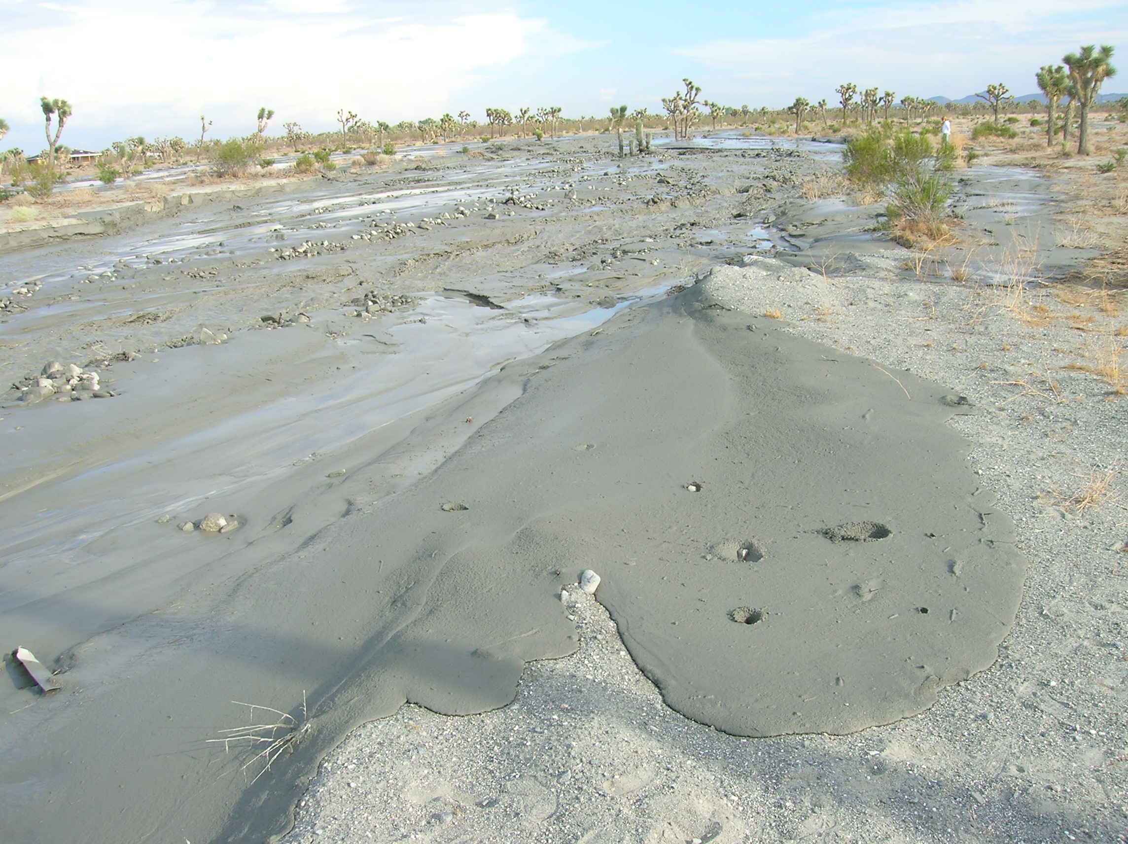
The slurry travels across an area like this just once; it does not become part of a long duration flow channel.
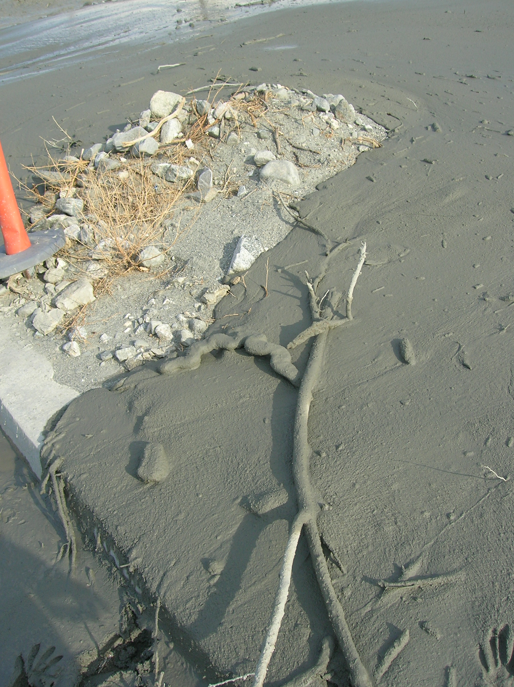
The moisture does not penetrate very far into the soil.
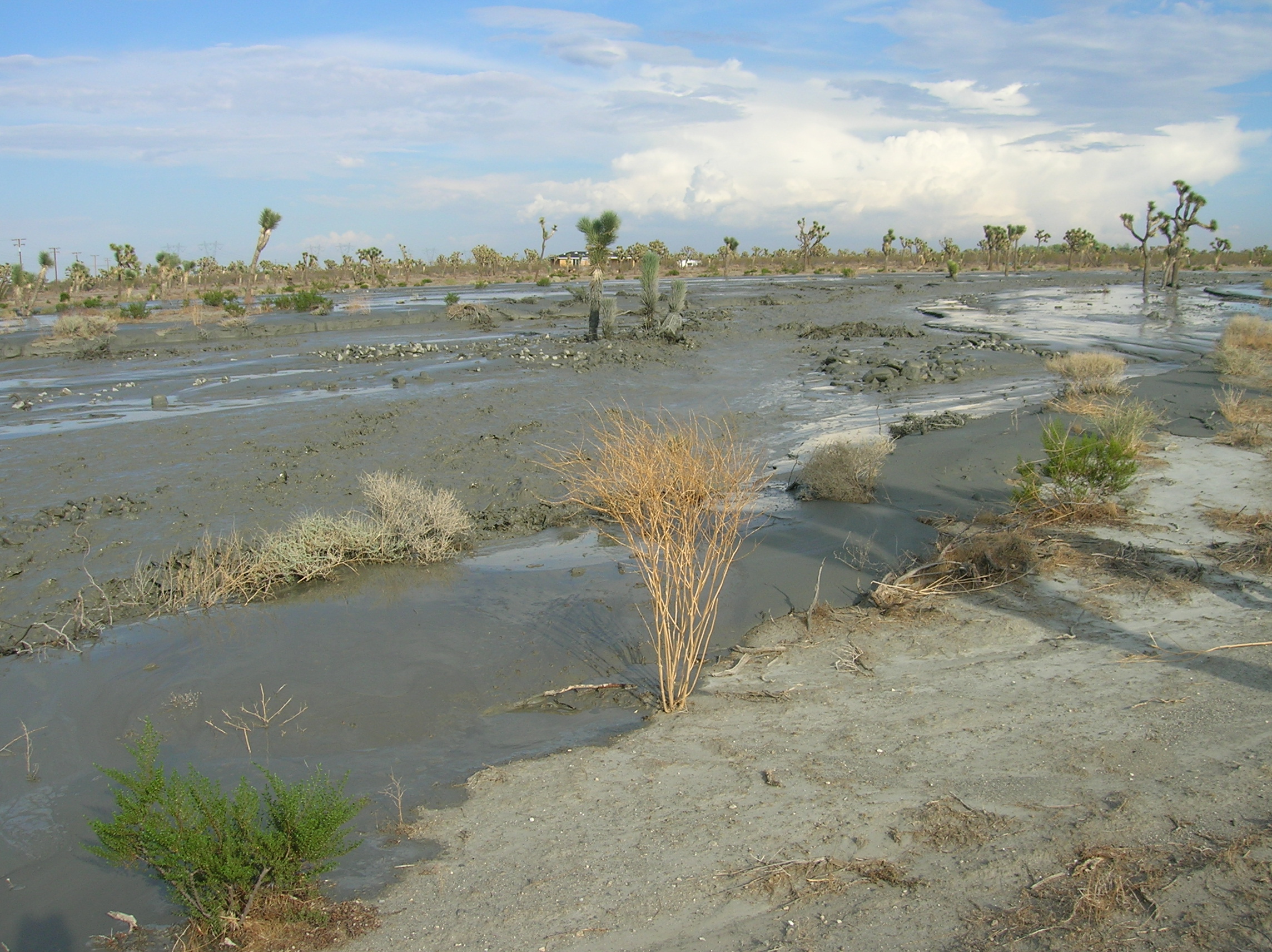
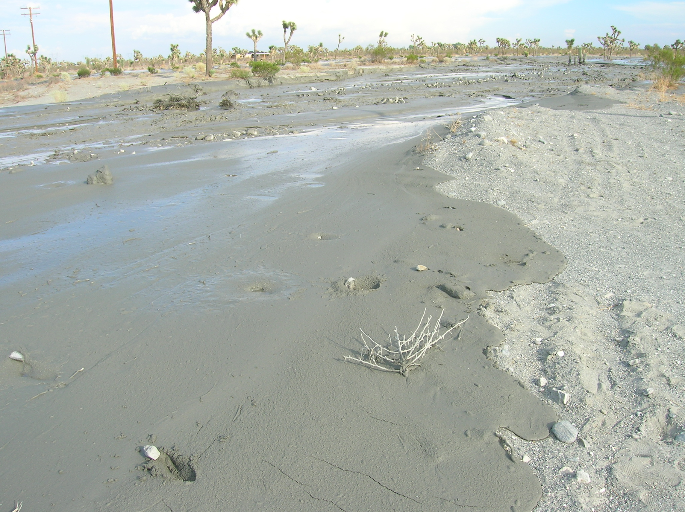
The crossing at
 Poor Quality Movie (PQM)
format
Poor Quality Movie (PQM)
format
Looking downstream (north).
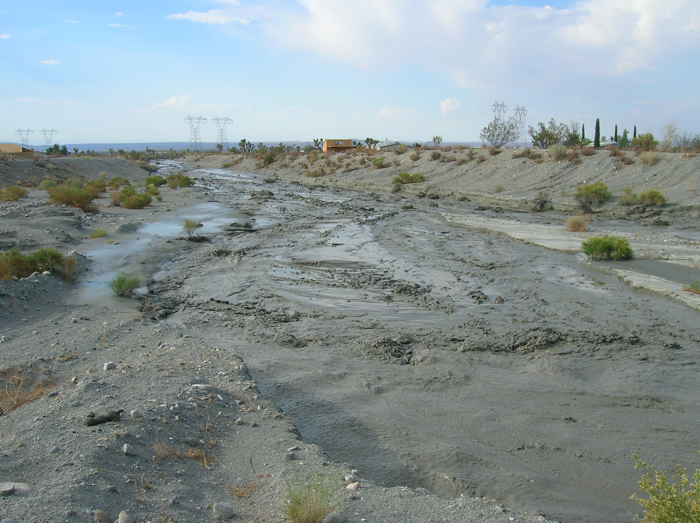
Broad flows and cutting water from previous floods (south west side of crossing looking south).